<script setup lang="ts">
/**
* LeafletMap — a thin, theme-aware Leaflet wrapper that renders free raster
* tiles (OpenStreetMap, OpenTopoMap, Esri). No API key required.
*
* Drop `<LeafletMarker>` / `<LeafletPopup>` / `<LeafletPolyline>` /
* `<LeafletPolygon>` / `<LeafletCircle>` / `<LeafletCircleMarker>` /
* `<LeafletGeoJson>` / `<LeafletTileLayer>` into the default slot to build any
* map — the same composition model as the Mapbox `map` component.
*
* Basemap `variant` presets (all key-free tile providers):
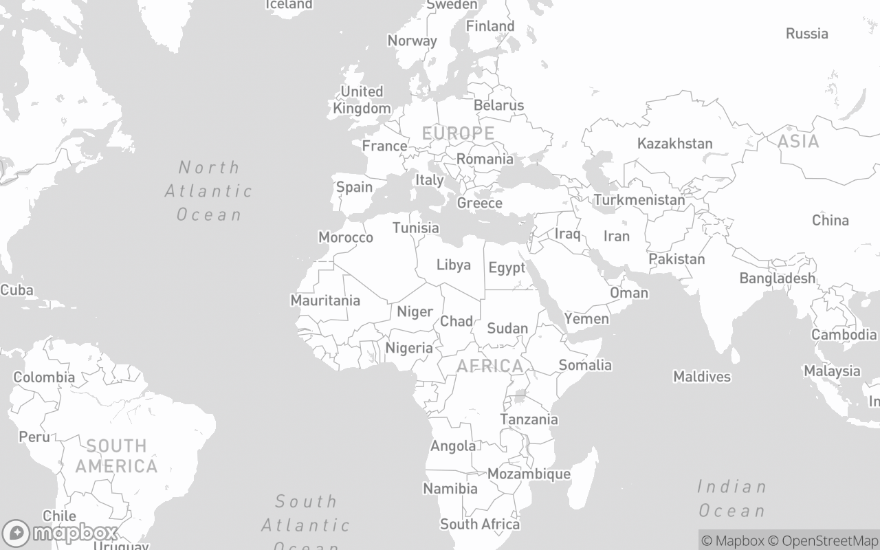
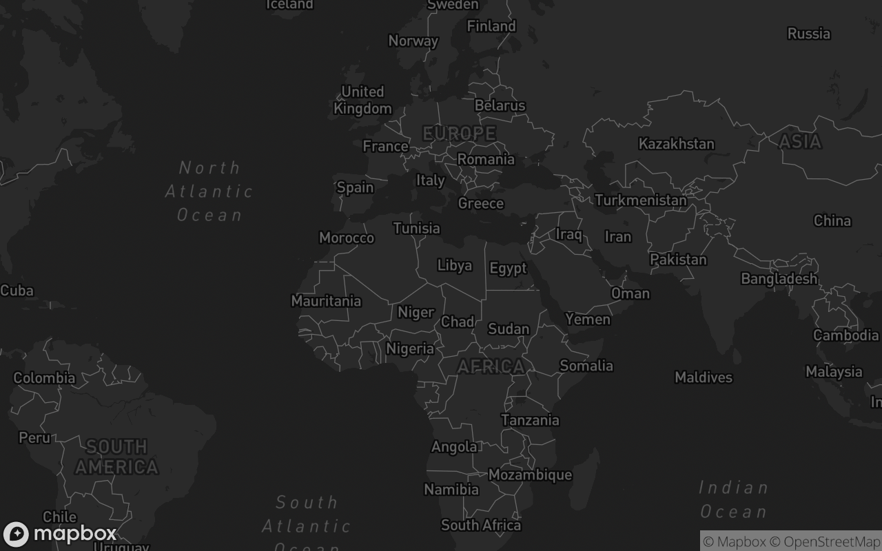
* - `default`: theme-aware Esri light/dark canvas
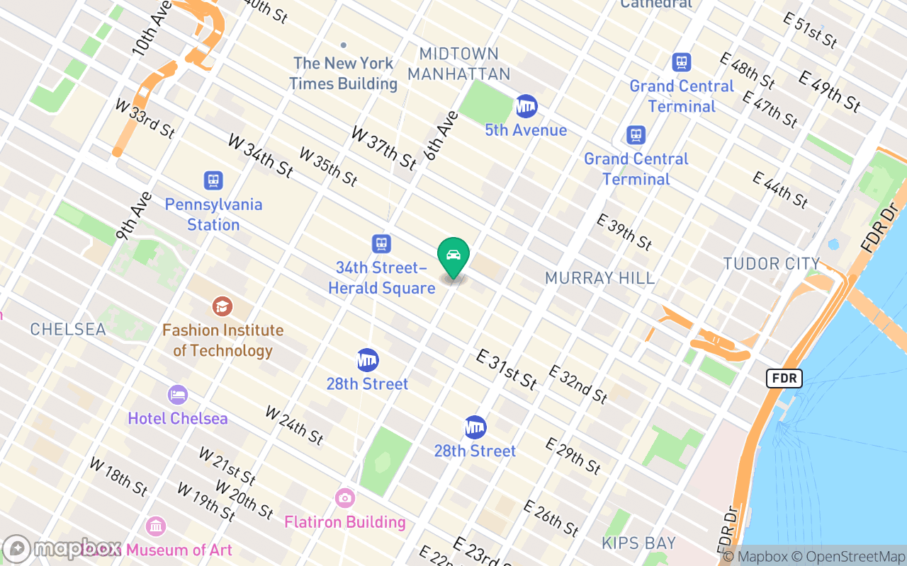
* - `streets` / `standard`: OpenStreetMap Standard
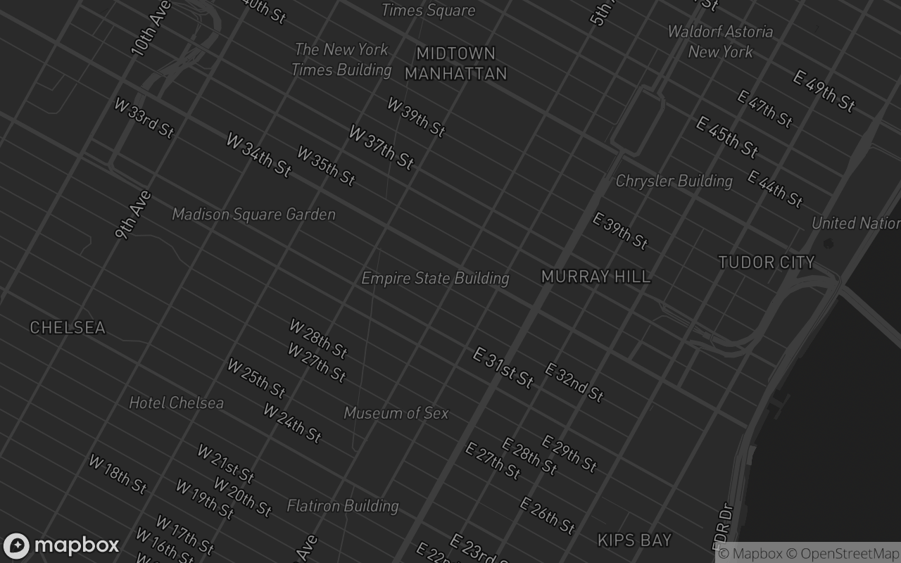
* - `light` / `dark`: Esri Light/Dark Gray Canvas
* - `muted`: theme-aware Esri canvas + desaturated tile pane
* - `outdoors`: OpenTopoMap topographic contours
* - `satellite`: Esri World Imagery
* - `satellite-streets`: Esri imagery + Esri reference labels overlay
* - `navigation-day`: Esri World Street Map
* - `navigation-night`: Esri Dark Gray Canvas
*
* Not supported (Leaflet has no vector/GL renderer — these Mapbox props have
* no counterpart): pitch, bearing, 3D buildings/terrain, globe projection.
* Use a `variant` preset or `tile-url` for custom raster tiles instead.
*/
import { computed, onMounted, onUnmounted, provide, ref, shallowRef, watch } from 'vue'
import type * as L from 'leaflet'
import { cn } from '@/lib/utils'
import {
defined,
fixDefaultLeafletIcon,
loadLeaflet,
toLatLng,
toLatLngBounds,
LEAFLET_MAP_KEY,
type LeafletPosition,
} from './leaflet-context'
import {
leafletMapVariants,
LEAFLET_TILES,
LEAFLET_THEME_TILES,
type LeafletMapVariant,
type LeafletMapVariants,
type LeafletTilePreset,
} from './leaflet-map.variants'
import 'leaflet/dist/leaflet.css'
import './leaflet-map.css'
const props = withDefaults(
defineProps<{
/** Named raster basemap preset ('streets' | 'outdoors' | 'satellite' | 'satellite-streets' | 'light' | 'dark' | 'navigation-day' | 'navigation-night' | 'standard' | 'muted' | 'default'). */
variant?: LeafletMapVariant
/** Height preset. Omit to size via `class` (blocks typically pass `size-full`). */
size?: LeafletMapVariants['size']
/** Custom raster tile URL template — overrides `variant`. */
tileUrl?: string
/** Attribution HTML for a custom `tile-url`. Defaults to the OpenStreetMap credit. */
tileAttribution?: string
/** Tile subdomains for a custom `tile-url` ('abcd' or ['a','b']). */
tileSubdomains?: string | string[]
/** Initial [lng, lat] — Mapbox order, matching the `map` component. */
center?: [number, number]
zoom?: number
minZoom?: number
/** Caps the map's max zoom. Defaults to the tile provider's own maxZoom. */
maxZoom?: number
/** Show the zoom control. */
navigation?: boolean
/** Placement of the zoom control ('top-left' | 'top-right' | 'bottom-left' | 'bottom-right'). */
navigationPosition?: LeafletPosition
/** Show the HTML5 fullscreen toggle button. */
fullscreen?: boolean
/** Placement of the fullscreen button. Defaults to 'top-right'. */
fullscreenPosition?: LeafletPosition
/** Show tile credits behind a ⓘ button (reveals on hover/tap). Keep on — OSM/Esri tiles require attribution. */
attribution?: boolean
/** Wheel zoom. Set false for maps embedded in scrollable pages. */
scrollWheelZoom?: boolean
/** Desaturate the tile pane to a quiet canvas (markers stay coloured). */
muted?: boolean
class?: string
}>(),
{
variant: 'default',
tileUrl: undefined,
tileAttribution: undefined,
tileSubdomains: undefined,
center: () => [0, 20],
zoom: 2,
minZoom: undefined,
maxZoom: undefined,
navigation: true,
navigationPosition: 'bottom-right',
fullscreen: false,
fullscreenPosition: 'top-right',
attribution: true,
scrollWheelZoom: true,
muted: false,
},
)
const emit = defineEmits<{ (e: 'created', map: L.Map): void }>()
const htmlDark = ref(false)
const isMuted = computed(() => props.muted || props.variant === 'muted')
const resolvedTiles = computed<LeafletTilePreset>(() => {
if (props.tileUrl) {
return {
url: props.tileUrl,
attribution:
props.tileAttribution ??
'© <a href="https://www.openstreetmap.org/copyright">OpenStreetMap</a> contributors',
subdomains: props.tileSubdomains,
maxZoom: props.maxZoom,
}
}
if (
props.variant &&
props.variant !== 'default' &&
props.variant !== 'muted' &&
LEAFLET_TILES[props.variant as keyof typeof LEAFLET_TILES]
) {
return LEAFLET_TILES[props.variant as keyof typeof LEAFLET_TILES]
}
return htmlDark.value ? LEAFLET_THEME_TILES.dark : LEAFLET_THEME_TILES.light
})
// Client-only: Leaflet needs the DOM, so SSR renders just the bg-muted shell.
const mounted = ref(false)
const inView = ref(false)
const containerRef = ref<HTMLDivElement | null>(null)
const mapEl = ref<HTMLDivElement | null>(null)
const map = shallowRef<L.Map | null>(null)
let Lmod: typeof import('leaflet') | null = null
let baseLayer: L.TileLayer | null = null
let overlayLayer: L.TileLayer | null = null
let resizeObserver: ResizeObserver | null = null
let intersectionObserver: IntersectionObserver | null = null
let themeObserver: MutationObserver | null = null
let onFullscreenChange: (() => void) | null = null
// Published to LeafletMarker / LeafletPopup / … children.
provide(LEAFLET_MAP_KEY, map)
function applyTiles(tiles: LeafletTilePreset) {
const m = map.value
const L = Lmod
if (!m || !L) return
baseLayer?.remove()
baseLayer = null
overlayLayer?.remove()
overlayLayer = null
baseLayer = L.tileLayer(tiles.url, {
attribution: tiles.attribution,
...(tiles.subdomains ? { subdomains: tiles.subdomains } : {}),
maxZoom: tiles.maxZoom ?? 19,
})
baseLayer.addTo(m)
if (tiles.overlayUrl) {
overlayLayer = L.tileLayer(tiles.overlayUrl, { maxZoom: tiles.maxZoom ?? 19 })
overlayLayer.addTo(m)
}
}
// Collect attribution strings from every layer (base tiles, overlays, custom
// LeafletTileLayers) — deduped, rendered by the ⓘ popover.
const attributions = ref<string[]>([])
const showAttribution = ref(false)
function collectAttributions() {
const m = map.value
if (!m) return
const seen = new Set<string>()
m.eachLayer((layer) => {
const a = (layer as L.TileLayer).options?.attribution
if (typeof a === 'string' && a) seen.add(a)
})
attributions.value = [...seen]
}
function createMap() {
const el = mapEl.value
const L = Lmod
if (!el || !L || map.value) return
fixDefaultLeafletIcon(L)
const tiles = resolvedTiles.value
const m = L.map(
el,
defined({
center: toLatLng(props.center ?? [0, 20]),
zoom: props.zoom,
minZoom: props.minZoom,
maxZoom: props.maxZoom ?? tiles.maxZoom,
zoomControl: false,
attributionControl: false,
scrollWheelZoom: props.scrollWheelZoom,
}),
)
map.value = m
applyTiles(tiles)
m.on('zoomend', syncZoomBounds)
syncZoomBounds()
m.on('layeradd layerremove', collectAttributions)
collectAttributions()
emit('created', m)
}
onMounted(() => {
const root = document.documentElement
const syncTheme = () => {
htmlDark.value = root.classList.contains('dark')
}
syncTheme()
themeObserver = new MutationObserver(syncTheme)
themeObserver.observe(root, { attributes: true, attributeFilter: ['class'] })
mounted.value = true
const el = containerRef.value
if (!el || typeof IntersectionObserver === 'undefined') {
inView.value = true
} else {
intersectionObserver = new IntersectionObserver(
([entry]) => {
inView.value = entry.isIntersecting
},
{ rootMargin: '160px', threshold: 0.01 },
)
intersectionObserver.observe(el)
}
if (typeof ResizeObserver !== 'undefined' && el) {
resizeObserver = new ResizeObserver(() => {
map.value?.invalidateSize()
})
resizeObserver.observe(el)
}
onFullscreenChange = () => {
isFullscreen.value = Boolean(document.fullscreenElement)
}
document.addEventListener('fullscreenchange', onFullscreenChange)
})
onUnmounted(() => {
resizeObserver?.disconnect()
intersectionObserver?.disconnect()
themeObserver?.disconnect()
if (onFullscreenChange) document.removeEventListener('fullscreenchange', onFullscreenChange)
map.value?.remove()
map.value = null
})
// Leaflet module loads lazily once the container is both mounted and in view.
watch([mounted, inView], async ([isMounted, visible]) => {
if (!isMounted || !visible || map.value) return
Lmod = await loadLeaflet()
createMap()
})
// Retile on variant / theme / custom-tile changes.
watch(resolvedTiles, (tiles) => {
if (map.value) applyTiles(tiles)
})
watch(
() => [props.center, props.zoom],
() => {
const m = map.value
if (!m || !props.center) return
m.setView(toLatLng(props.center), props.zoom)
},
)
watch(
() => props.attribution,
() => {
if (!props.attribution) showAttribution.value = false
},
)
watch(
() => props.scrollWheelZoom,
(enabled) => {
if (!map.value) return
if (enabled) map.value.scrollWheelZoom.enable()
else map.value.scrollWheelZoom.disable()
},
)
const isFullscreen = ref(false)
function toggleFullscreen() {
const el = containerRef.value
if (!el) return
if (document.fullscreenElement) document.exitFullscreen()
else el.requestFullscreen?.()
}
// Zoom/fullscreen chrome is plain HTML overlaid on the map (like Mapbox's
// controls) — a corner stack per occupied corner, zoom group above fullscreen.
const cornerOrder: LeafletPosition[] = ['top-left', 'top-right', 'bottom-left', 'bottom-right']
const cornerClasses = computed<Record<LeafletPosition, string>>(() => ({
'top-left': 'left-3 top-3',
'top-right': 'right-3 top-3',
// above the ⓘ button (bottom-left) when credits are shown
'bottom-left': props.attribution && attributions.value.length ? 'bottom-9 left-3' : 'bottom-3 left-3',
'bottom-right': 'bottom-3 right-3',
}))
const navPosition = computed(() => props.navigationPosition ?? 'bottom-right')
const fsPosition = computed(() => props.fullscreenPosition ?? 'top-right')
const canZoomIn = ref(true)
const canZoomOut = ref(true)
function syncZoomBounds() {
const m = map.value
if (!m) return
canZoomIn.value = m.getZoom() < m.getMaxZoom()
canZoomOut.value = m.getZoom() > m.getMinZoom()
}
/** Mapbox-style camera shim — accepts { center: [lng, lat], zoom, duration(ms) }. */
function flyTo(options: { center?: [number, number]; zoom?: number; duration?: number } = {}) {
const m = map.value
if (!m) return
const target = options.center ? toLatLng(options.center) : m.getCenter()
m.flyTo(target, options.zoom ?? m.getZoom(), {
duration: (options.duration ?? 800) / 1000,
})
}
function setView(options: { center?: [number, number]; zoom?: number } = {}) {
const m = map.value
if (!m) return
m.setView(options.center ? toLatLng(options.center) : m.getCenter(), options.zoom ?? m.getZoom())
}
function jumpTo(options: { center?: [number, number]; zoom?: number } = {}) {
const m = map.value
if (!m) return
m.setView(options.center ? toLatLng(options.center) : m.getCenter(), options.zoom ?? m.getZoom(), {
animate: false,
})
}
// <script setup> components are closed by default, so a template ref on
// <LeafletMap> hands back this object. It mirrors the `map` component's MapRef
// surface: camera helpers plus `map` / `getMap()` for the raw L.Map.
defineExpose({
/** The underlying Leaflet Map, or null until it is created. */
get map() {
return map.value
},
getMap: () => map.value,
flyTo,
setView,
jumpTo,
/** [[west,south],[east,north]] in [lng, lat], or any Leaflet bounds expression. */
fitBounds: (bounds: [[number, number], [number, number]] | L.LatLngBoundsExpression, options?: L.FitBoundsOptions) =>
map.value?.fitBounds(toLatLngBounds(bounds as [[number, number], [number, number]]), options),
panTo: (center: [number, number]) => map.value?.panTo(toLatLng(center)),
zoomIn: () => map.value?.zoomIn(),
zoomOut: () => map.value?.zoomOut(),
resize: () => map.value?.invalidateSize(),
})
</script>
<template>
<div
ref="containerRef"
data-uipkge
data-slot="leaflet-map"
:data-variant="variant"
:data-muted="isMuted"
:class="cn(leafletMapVariants({ variant, ...(size ? { size } : {}) }), props.class)"
>
<div v-show="inView" ref="mapEl" class="size-full" />
<template v-for="corner in cornerOrder" :key="corner">
<div
v-if="map && ((navigation && navPosition === corner) || (fullscreen && fsPosition === corner))"
class="absolute z-[1000] flex flex-col gap-2.5"
:class="cornerClasses[corner]"
>
<div
v-if="navigation && navPosition === corner"
class="border-border bg-card divide-border flex flex-col divide-y overflow-hidden rounded-lg border shadow-sm"
>
<button
type="button"
class="text-muted-foreground hover:bg-muted flex size-8 items-center justify-center transition-colors disabled:pointer-events-none disabled:opacity-40"
aria-label="Zoom in"
:disabled="!canZoomIn"
@click="map?.zoomIn()"
>
<svg class="size-full" viewBox="0 0 29 29" fill="currentColor" aria-hidden="true">
<path
d="M14.5 8.5c-.75 0-1.5.75-1.5 1.5v3h-3c-.75 0-1.5.75-1.5 1.5S9.25 16 10 16h3v3c0 .75.75 1.5 1.5 1.5S16 19.75 16 19v-3h3c.75 0 1.5-.75 1.5-1.5S19.75 13 19 13h-3v-3c0-.75-.75-1.5-1.5-1.5z"
/>
</svg>
</button>
<button
type="button"
class="text-muted-foreground hover:bg-muted flex size-8 items-center justify-center transition-colors disabled:pointer-events-none disabled:opacity-40"
aria-label="Zoom out"
:disabled="!canZoomOut"
@click="map?.zoomOut()"
>
<svg class="size-full" viewBox="0 0 29 29" fill="currentColor" aria-hidden="true">
<path d="M10 13c-.75 0-1.5.75-1.5 1.5S9.25 16 10 16h9c.75 0 1.5-.75 1.5-1.5S19.75 13 19 13h-9z" />
</svg>
</button>
</div>
<button
v-if="fullscreen && fsPosition === corner"
type="button"
class="border-border bg-card text-muted-foreground hover:bg-muted flex size-8 items-center justify-center rounded-lg border shadow-sm transition-colors"
aria-label="Toggle fullscreen"
@click="toggleFullscreen"
>
<svg class="size-full" viewBox="0 0 29 29" fill="currentColor" aria-hidden="true">
<path
v-if="isFullscreen"
d="M18.5 16c-1.75 0-2.5.75-2.5 2.5V24h1l1.5-3 5.5 4 1-1-4-5.5 3-1.5v-1h-5.5zM13 18.5c0-1.75-.75-2.5-2.5-2.5H5v1l3 1.5L4 24l1 1 5.5-4 1.5 3h1v-5.5zm3-8c0 1.75.75 2.5 2.5 2.5H24v-1l-3-1.5L25 5l-1-1-5.5 4L17 5h-1v5.5zM10.5 13c1.75 0 2.5-.75 2.5-2.5V5h-1l-1.5 3L5 4 4 5l4 5.5L5 12v1h5.5z"
/>
<path
v-else
d="M24 16v5.5c0 1.75-.75 2.5-2.5 2.5H16v-1l3-1.5-4-5.5 1-1 5.5 4 1.5-3h1zM6 16l1.5 3 5.5-4 1 1-4 5.5 3 1.5v1H7.5C5.75 24 5 23.25 5 21.5V16h1zm7-11v1l-3 1.5 4 5.5-1 1-5.5-4L6 13H5V7.5C5 5.75 5.75 5 7.5 5H13zm11 2.5c0-1.75-.75-2.5-2.5-2.5H16v1l3 1.5-4 5.5 1 1 5.5-4 1.5 3h1V7.5z"
/>
</svg>
</button>
</div>
</template>
<!-- Tile credits behind a Mapbox-style ⓘ button: hover reveals on desktop,
tap toggles on touch. Keep visible — OSM/Esri tiles require credit. -->
<div
v-if="map && attribution && attributions.length"
class="group absolute bottom-3 left-3 z-[1000] flex flex-col items-start gap-1.5"
>
<div
class="border-border bg-popover text-popover-foreground max-w-64 rounded-md border px-2.5 py-1.5 text-[11px] leading-relaxed shadow-md transition-opacity [&_a]:underline"
:class="
showAttribution ? 'visible opacity-100' : 'invisible opacity-0 group-hover:visible group-hover:opacity-100'
"
role="note"
v-html="attributions.join(' | ')"
/>
<button
type="button"
class="border-border bg-card text-muted-foreground hover:bg-muted hover:text-foreground flex size-4 items-center justify-center rounded-full border shadow-xs transition-colors"
aria-label="Map data attribution"
:aria-expanded="showAttribution"
@click="showAttribution = !showAttribution"
>
<svg
class="size-3"
viewBox="0 0 24 24"
fill="none"
stroke="currentColor"
stroke-width="2"
stroke-linecap="round"
stroke-linejoin="round"
aria-hidden="true"
>
<circle cx="12" cy="12" r="10" />
<path d="M12 16v-4M12 8h.01" />
</svg>
</button>
</div>
<slot />
</div>
</template>